
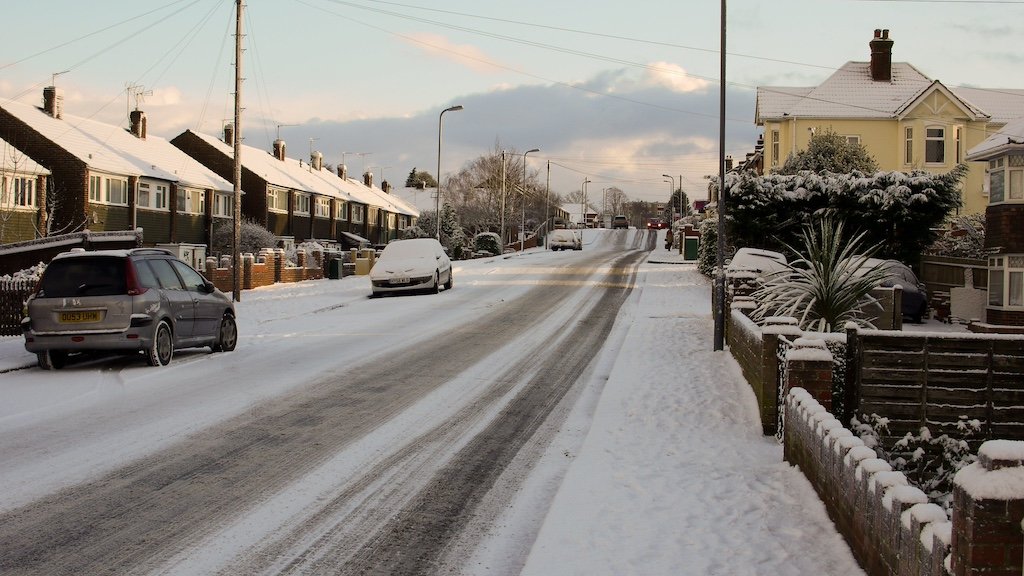
The warning, which remains in effect until 10am tomorrow, comes as part of a broader pattern of wintry weather sweeping across the UK. Meteorologists warn that icy stretches and snow showers could develop, potentially causing significant disruption to travel in the region.
For Southampton, which rarely sees substantial snowfall, this marks a notable departure from typical January conditions. The city’s position on the warmest part of the coast and its surrounding hills usually protect it from such wintry conditions, with the last significant snowfall recorded in 2018 during the “Beast from the East.”
The Met Office’s latest forecast suggests that wintry showers could lead to travel disruption, with residents advised to take extra precautions if venturing out. The warning comes as part of a broader cold snap affecting the UK as 2025 begins, bringing wintry showers, ice, and frost across the country.
Local authorities are advising residents to prepare for potential travel delays and to exercise caution on roads and pavements, which could become treacherous as temperatures drop. The unusual weather event has caught particular attention given Southampton’s typically mild winter climate, where average minimum temperatures rarely fall below 2.6°C even in the coldest month.
Motorists are being advised to check their routes before travelling and to ensure their vehicles are winter-ready, while pedestrians are urged to take extra care on potentially icy surfaces during Tuesday morning’s commute.


